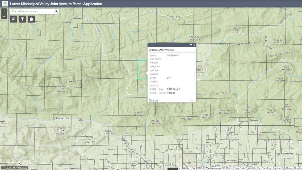
Land Ownership Tool
The database and web application serve to support the conservation outreach and coordination interests of the LMVJV Partnership. This database is intended to provide field biologists and planners with spatially-specific private land ownership data (including parcel boundary, name, and address information) within large portions of the LMVJV to assist in targeting area-specific conservation goals and objectives.
Funding for this tool was provided by the Walton Family Foundation. The web-based system was developed by Ducks Unlimited, who has generously accepted responsibility to maintain the database and application. Access to the application is provided by permission only to Joint Venture partners through Ducks Unlimited.